Kalamos Island
Island of the Ionian Sea, located Southeast (SE) of Lefkada island, between Meganisi on the West Northwest (WNW), Kastos on the South Southeast (SSE) and the coast of Akarnania on the North Northeast (NNE).
Kalamos has a longitudinal shape covering an area of 25 square kilometres. It is ranked 7th in size of the seven major islands of the Ionian Sea (so-called Eptanisos) and 59th of the country’s islands. The island’s extreme geographical points are the capes of Kefali (NW), Asprogiali (NE) and Trachila (NW). The distance from SW to NE is 12 km. The maximum altitude is 745 m. (Vouni summit) situated almost at the island’s centre.
The island is attached administratively to the District of Lefkada of the Prefecture of Lefkada. It has one community and two settlements; Kalamos on the northwest side and Episkopi at its northern shore. The island’s population (according to the 2001 census) is 465 people.
The area is mountainous, with one mountain running through its entire length. The island’s shores are rocky and mostly harbourless.
They form two relatively large coves:
A. Gerolimionas, on their NW part,
B. The Porto Leone harbour, on their NE part. Close to the SW part of the island the Formikoula skerry is located.
HISTORY
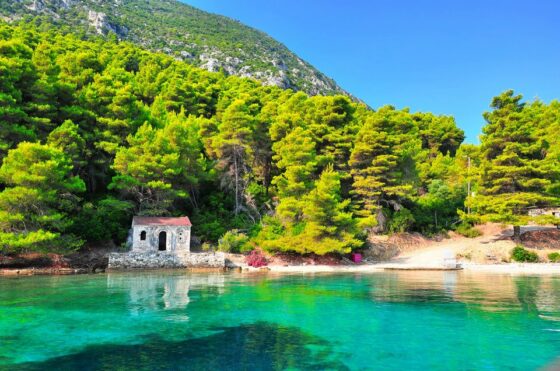
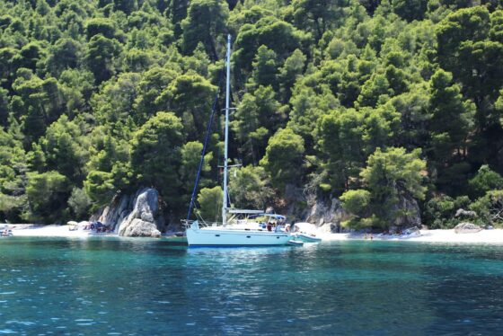
Kalamos is the largest of a fringe of small islands located in the region of Lefkada. The island’s dramatic landscape combines high peaks and steep slopes ending to the coast which are surrounded by the boundless blue of the sea. The first evidence of human habitation on the island dates back to the Neolithic era. It is certain that Kalamos was inhabited also in the Mycenaean and Classical periods. In the Hellenistic period of Ancient Greece the passage from the Kalamos – Mytikas strait was of particular military importance. The strait was initially monitored through a small stronghold built on the Xylokastro crest and a system of towers built in the surrounding area.
The surveillance of the strait is organized more effectively in the late Roman age when a strong castle was built at a lower altitude between the settlements of Kalamos and Episkopi. In the eclipse of conflicts piracy constituted a permanent problem for the area, and especially in periods when there was lack of state control as in the era after the fall of the Byzantine Empire and during the 16th and 18th centuries. During the most part of the 18th ce. Venetians dominated the island and the economy of Kalamos was controlled by the Delladetsima family which collected the tithe. By the end of the century the Russians follow the Venetian dominion and in 1807 the island devolved to the French.
Moorings of Vessels at Kalamos Island
Α. KALAMOS PORT
Safe port with relatively good anchor hold. The depth close to the port’s entrance 2.5 meters. Further deeper it is better that a vessel should moor with the bow in order to prevent a collision to the rocks jutting out from the sea. The planning for improving the port at its northern part to the land has been advanced.
Β. PORTO LEONE HAVEN
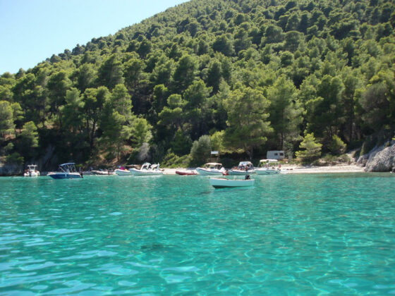
A deep gulf located on the SE side of Kalamos where a small entirely uninhabited village is situated. Vessels with a draught up to 1.8 meters can moor with their bow at the small pier (which can accommodate two vessels maximum), or otherwise anchoring in deep enough waters and mooring from the land or roadsted on the beach at the deep part of the gulf is suggested.
Γ. LITTLE HARBOUR OF EPISKOPI
Small port at the NW part of the island being suitable only for vessels with a small draught (up to 1.5 meters). It requires attention because rocks under the sea surface rocks jut out from the quay.


